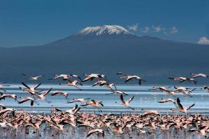
While there are various routes leading to the “Roof of Africa,” the Lemosho Route stands out for its stunning scenery, gradual acclimatization, and a higher chance of reaching the summit successfully. In this article, we will delve into the key details of the Lemosho Route, including the distance, number of days required, and provide the GPX file for you to download and take with you.
Distance and Overview
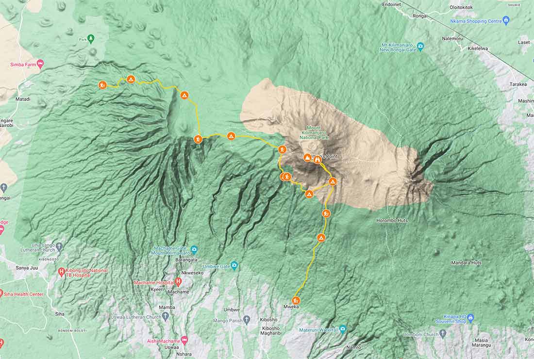
The total distance covered on the Lemosho Route is approximately 43 to 47 miles (70 to 75 kilometers) from start to summit and back down. The length of the route can vary slightly depending on the itinerary chosen by the trekking company and the specific campsite locations. It is crucial to remember that Kilimanjaro’s altitude and the challenging terrain can make each kilometer feel longer, requiring endurance and mental strength from trekkers.
Number of Days
The Lemosho Route takes 8 days to complete. A more extended itinerary allows for better acclimatization, reducing the risk of altitude-related illnesses and increasing the chances of successfully reaching Uhuru Peak, the highest point on Kilimanjaro. Here’s a breakdown of a common 8-day Lemosho Route itinerary, including the elevations of each camp:
Day 1
Lemosho Glades to Big Tree Camp (Mti Mkubwa)
Gate Elevation: 7,000 feet (2133 meters)
Camp Elevation: Approximately 8,700 feet (2,650 meters)
The trek begins through the lush rainforest, and it is a relatively easy day to get accustomed to the trail.
Day 2
Big Tree Camp to Shira 1 Camp
Camp Elevation: Approximately 11,600 feet (3,500 meters)
The route continues through the rainforest and into the heather and moorland zone.
Day 3
Shira 1 Camp to Shira 2 Camp
Camp Elevation: Approximately 12,800 feet (3,900 meters)
This day offers stunning views of the Shira Plateau as the vegetation becomes sparse.
Day 4
Shira 2 Camp to Barranco Camp
Camp Elevation: Approximately 12,800 feet (3,950 meters)
The trek enters the alpine desert zone, and trekkers face the challenging Barranco Wall before descending to Barranco Camp.
Day 5
Barranco Camp to Karanga Camp
Camp Elevation: Approximately 13,100 feet (4,000 meters)
The trail involves ascending the Great Barranco Wall and traversing several ridges and valleys.
Day 6
Karanga Camp to Barafu Camp
Camp Elevation: Approximately 14,800 feet (4,600 meters)
This day includes a relatively short trek to Barafu Camp, a crucial location for final preparations before the summit push.
Day 7
Barafu Camp to Uhuru Peak (Summit) to Mweka Camp
Summit Elevation: 19,341 feet (5,895 meters)
Camp Elevation (Mweka Camp): Approximately 10,000 feet (3,100 meters)
The summit attempt begins at midnight, and after reaching the peak, trekkers descend to Mweka Camp for the night.
Day 8
Mweka Camp to Mweka Gate
Gate Elevation: 5,400 feet (1,650 meters)
The final journey through the rainforest leads to Mweka Gate, where climbers receive certificates and celebrate their accomplishment.
GPX File
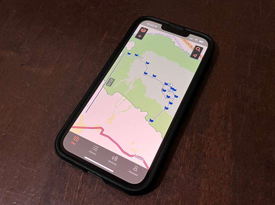
The GPX file for the Lemosho Route provides valuable GPS data that can be used to track the route, elevation, and progress during the trek. This digital file can be uploaded to various GPS devices or smartphone apps to assist trekkers with navigation.
While the GPX file for the Lemosho Route is readily available from trekking companies and online platforms, it is essential to ensure its accuracy and reliability. Carrying a GPS device or a smartphone with a reliable app can be an additional safety measure, especially in adverse weather conditions or low visibility.
You can then upload the route to your smartphone and use an app like Gaia or Garmin Explore. They can be downloaded from the Apple Store or Google Play. You can also view your progress on a Garmin device or watch.
Final Thoughts
In conclusion, the Lemosho Route is a mesmerizing journey to the summit of Kilimanjaro, offering breathtaking vistas, diverse ecosystems, and a higher chance of successful acclimatization. Climbers should adequately prepare themselves physically and mentally for this challenging expedition, and utilizing the GPX file can be a valuable tool for navigation. As with any high-altitude trek, it is vital to trek responsibly, respect the environment, and heed the guidance of experienced guides to make the most of this once-in-a-lifetime adventure.