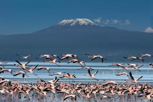
Nestled in the heart of northeastern Tanzania, the imposing silhouette of Mount Kilimanjaro has long beckoned to intrepid souls seeking the ultimate summit challenge. Amidst the myriad routes that weave towards the “Roof of Africa,” the Rongai Route offers a distinct and captivating journey. In this article, we venture into the world of the Rongai Route, exploring its distance, number of days, elevations of each camp, and GPX (GPS Exchange Format), empowering aspiring trekkers to prepare for this exceptional trek.
Distance and Overview
As Kilimanjaro’s only route that begins from the northeast, the Rongai Route ushers trekkers through an untouched wilderness of shifting landscapes. Far from the bustle of other trails, this journey winds through serene wilderness and stands out for its tranquility and solitude.
Traversing approximately 43 miles (69 kilometers), the Rongai Route encompasses the full expedition from base to summit and back. While the precise mileage may vary contingent on chosen itineraries and campsite selections, it is paramount to recognize that Kilimanjaro’s soaring altitudes and demanding terrains can magnify the perceived distance, demanding grit and perseverance from trekkers.
Number of Days
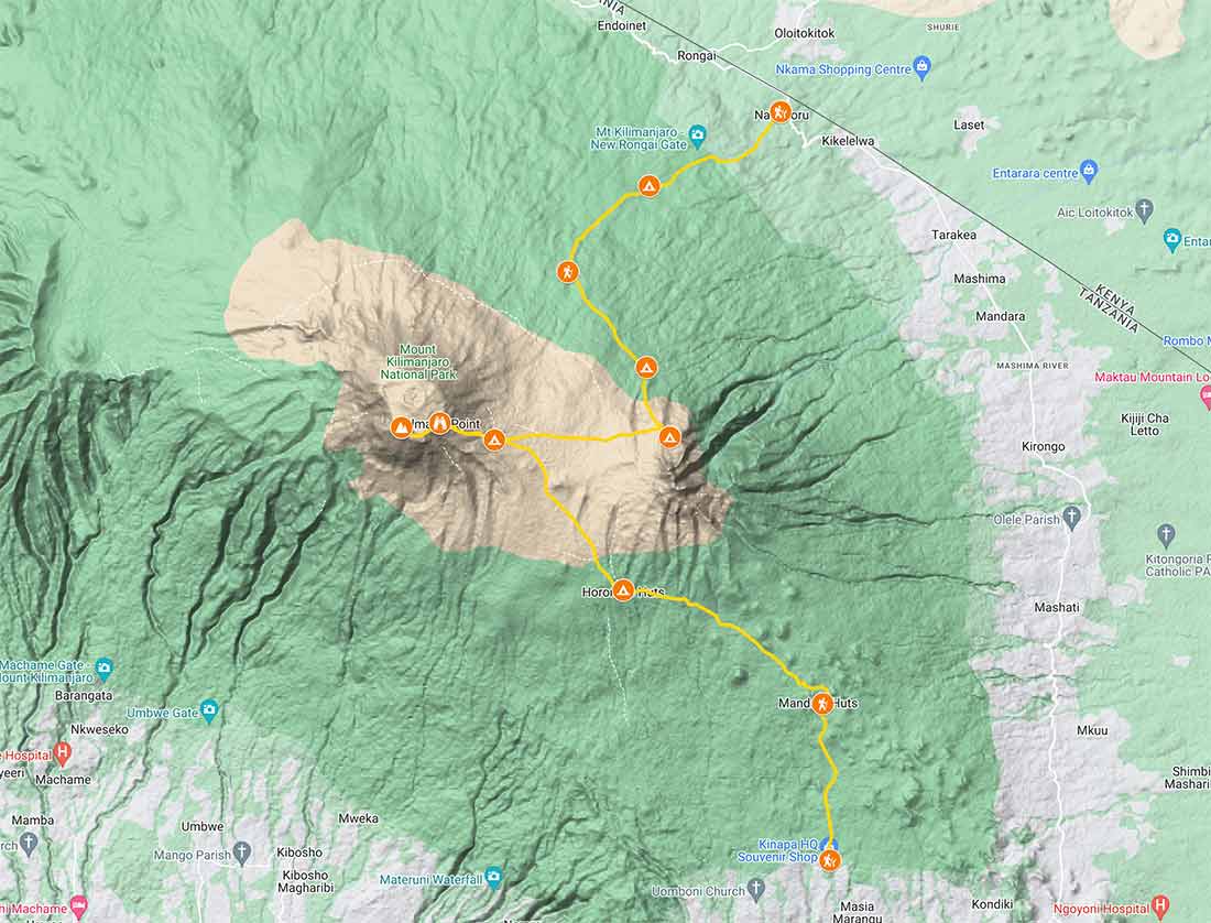
The Rongai Route we offer takes six days. Below is an outline of the Rongai Route itinerary, accompanied by the elevations of each camp:
Day 1
Nale Moru (Rongai Gate) to Rongai One Camp
Gate Elevation: 6,400 feet (1,950 meters).
Camp Elevation: Approximately 8,500 feet (2,590 meters)
The adventure begins in the rainforest, a gentle initiation into the trek.
Day 2
Rongai One Camp to Kikelewa Caves
You start the day ascending to Second Cave 11,300 feet (3,400 meters). You’ll then continue to a valley near Kikelewa Caves 11,800 feet (3,597 meters).
Day 3
Kikelewa Camp to Mawenzi Tarn
Camp Elevation: Approximately 11,800 feet (3,600 meters)
The journey brings trekkers to the alpine desert zone, embracing the austere beauty.
Day 4
Mawenzi Tarn Camp to Kibo Hut
Camp Elevation: Approximately 15,400 feet (4,700 meters)
The trail crosses the lunar-like saddle between Mawenzi and Kibo en route to Kibo Hut. The rest of the day is spent resting and acclimatizing.
Day 5
Kibo Hut to Uhuru Peak (Summit) to Horombo Hut
Summit Elevation: 19,341 feet (5,895 meters)
Camp Elevation: Approximately 12,200 feet (3,720 meters).
The summit attempt commences at midnight. After trekking to the summit, you’ll descend to Horombo Hut.
Day 6
Horombo Hut to Marangu Gate
Gate Elevation: 6,102 feet (1,860 meters)
The final descent carries trekkers through verdant rainforests, a befitting conclusion to an amazing journey.
GPX File
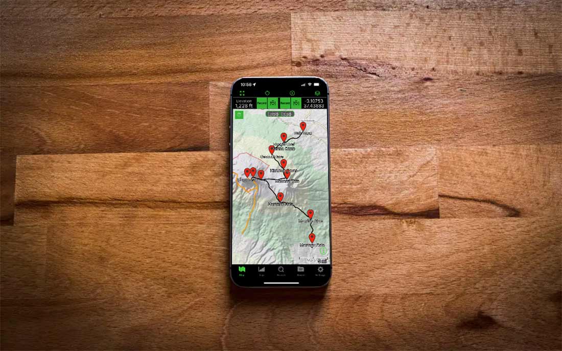
Integral to the Rongai Route experience is the GPX file, a digital trove of GPS data guiding trekkers along the route, through elevation variations, and across the expanse of the expedition. This invaluable tool can be seamlessly integrated into GPS devices or smartphone apps, providing real-time navigation assistance.
You can then upload the route to your smartphone and use an app like Gaia or Garmin Explore. They can be downloaded from the Apple Store or Google Play. You can also view your progress on a Garmin device or watch.
Final Thoughts
Embarking on the Machame Route is an awe-inspiring journey that offers trekkers the opportunity to witness stunning landscapes, diverse ecosystems, and the remarkable summit of Mount Kilimanjaro. The combination of a challenging trail, breathtaking vistas, and proper acclimatization make the Machame Route a favorite among adventurers worldwide. By understanding the distance, number of days required, and utilizing the GPX overview, trekkers can adequately prepare for this unforgettable experience, ensuring a safe and successful ascent of the magnificent Kilimanjaro.